


The rapid intensification of the low into a fierce weather system, dubbed “bombogenesis” by meteorologists, is a rare event most often seen during winter.
“Over the next 24 hours or so, we will see the low form quite deep, quickly, and the central pressure dropping significantly, somewhere in the order of 20 to 30 hectopascals,” the bureau’s Daniel Hayes said on Monday.
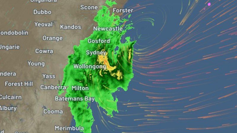
Loading
That plunge in pressure easily meets the threshold for an east coast low, but another low-pressure system stewing further out to sea will interact with the coastal system, potentially siphoning off energy and reducing the potential for the wide-scale impacts that would define an east coast low.
Forecasting the interaction between the two low-pressure systems is tricky.
“The two can just dance around each other and both survive but pull energy out each other. Or they could merge, and you eventually get one system that’s stronger,” Hayes said.
The two lows could undergo the Fujiwhara effect, where two systems rotate around each other, according to Weatherwatch meteorologist Anthony Cornelius. That would further complicate forecasting and may push the bad weather into three-day event, he said.


