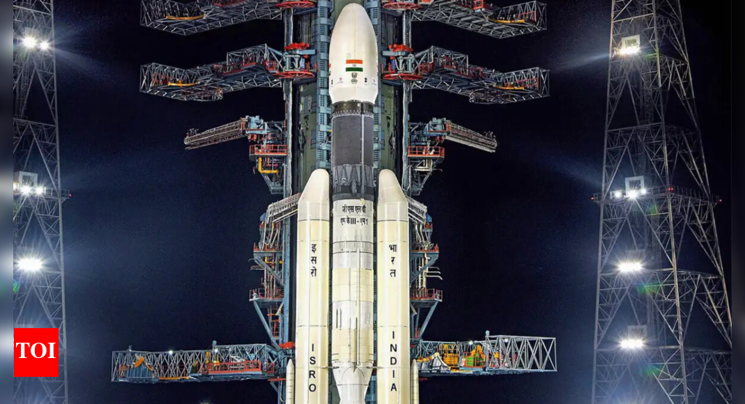

A recent video by the popular YouTube channel Real Engineering, titled “The Unlikely Rise of the Indian Space Program”, has sparked major backlash in India. While the video lauded Isro’s achievements, it featured a distorted map of India, excluding territories which are integral parts of the nation. The omission triggered accusations that the channel was promoting a “Western narrative” and disrespecting India’s territorial integrity.
How the backlash started
Though the video was intended as a tribute to India’s remarkable progress in space exploration – and received praise for its production quality – it quickly drew criticism for its geopolitical representation. Indian viewers flooded the comments section, accusing Real Engineering of insensitivity and political bias. For many, the issue wasn’t the content itself, but the deeper disrespect perceived in the inaccurate depiction of India’s borders.
Real engineering’s response
In response to the backlash, Real Engineering issued a strongly worded statement expressing disappointment over the reaction from Indian viewers. The creator noted that the video had taken two months to produce and cost tens of thousands of dollars, only to be criticised over what he described as a “non-issue.” He clarified that the map shown was the internationally recognised version of India and argued that it was not the responsibility of a YouTuber to navigate geopolitical disputes.
Poll
Should international media outlets take greater care in how they depict national borders?
His post ended with the sign-off: “I will not make the mistake of praising India again. Mission accomplished, guys.”
Comments that made it worse
The situation escalated after Real Engineering responded to a viewer’s comment, which read: “I don’t have a problem with the name, I have a problem with the wrong map. If we do not highlight the issue, then how will it get solved?”To this, Real Engineering replied: “Someone who has family members died over stupid border disputes, none of it matters. Borders are a construct. The only thing that matters is that people are safe. Focus on that.”This comment was widely condemned as dismissive and insensitive. Many Indians saw it as trivialising the real sacrifices made by soldiers and civilians in border conflicts. The tone was perceived as not just uninformed, but as showing disregard for India’s historical struggles and sovereignty.
Why the map matters in India
In India, depictions of its national borders are not just cartographic details—they’re emotionally and politically charged. The country’s official stance is clear: PoK and Aksai Chin are inalienable parts of India. Any deviation is seen not as a minor mistake, but a serious affront to national sovereignty. Over the years, even global corporations and media outlets have faced repercussions for similar misrepresentations.For many Indians, the issue is personal.
A lesson in context and respect
When it comes to matters of territorial integrity, individuals and organisations must tread carefully. It’s easy to overlook the significance of national boundaries when operating from thousands of kilometres away, guided only by so-called “internationally recognised borders.” But for citizens of countries like India, every inch of land is tied to generations of history, culture, and sacrifice.Put yourself in the shoes of an Indian: the bond with the land is not just about maps or geopolitical consensus—it’s about identity, pride, and an unshakable commitment to unity. Praising a nation’s accomplishments while disregarding its core values is like complimenting someone while stepping on their shoes—it invalidates the sentiment.In Real Engineering’s case, there may have been no deliberate malice. But the controversy underscores an important lesson: when speaking about another country, especially on global platforms, cultural and geopolitical sensitivity is essential. Technical accuracy is important—but context, awareness, and respect matter just as much. Ignoring that isn’t just tone-deaf. It’s bad storytelling.